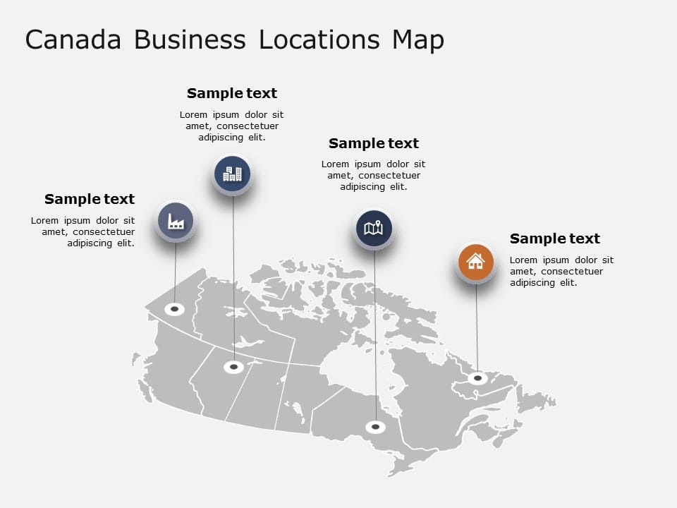
Canada Maps PowerPoint Templates
Canada Maps PowerPoint Templates For Presentations:
The Canada Maps PowerPoint templates go beyond traditional static slides to make your professional presentations stand out. Given the sleek design and customized features, they can be used as PowerPoint as well as Google Slides templates. Inculcated with visually appealing unique and creative designs, the templates will double your presentation value in front of your audience. You can browse through a vast library of Canada Maps Google Slides templates, PowerPoint themes and backgrounds to stand out in your next presentation.
What Is A Canada Maps PowerPoint Template?
A Canada Maps PowerPoint template is a ready-made presentation template that provides a structured framework for creating professional Canada Maps presentations. The Canada Maps PPT presentation template includes design elements, layouts, and fonts that you can customize to fit your content and brand.
What Are The Advantages Of Canada Maps Presentation Templates?
Canada Maps PPT presentation templates can be beneficial because they:
- Add multiple visual and aesthetic layers to your slides.
- Ensure that complex information, insights and data is presented in a simplistic way.
- Enhance the overall visual appeal of the content.
- Save you a lot of time as you don’t have to start editing from scratch.
- Improve the professional outlook of your presentation.
How To Choose The Best Canada Maps Presentation Templates?
Keep the following points in mind while choosing a Canada Maps Presentation template for PowerPoint (PPT) or Google Slides:
- Understand your presentation goals and objectives.
- Make sure the Canada Maps template aligns with your visual needs and appeal.
- Ensure the template is versatile enough to adapt to various types of content.
- Ensure the template is easily customizable.
Can I Edit The Elements In Canada Maps PowerPoint Templates?
Yes, our Canada Maps PowerPoint and Google Slides templates are fully editable. You can easily modify the individual elements including icons, fonts, colors, etc. while making your presentations using professional PowerPoint templates.
Are Canada Maps PowerPoint Templates Compatible With Google Slides?
Yes, all our Canada Maps presentation templates are compatible and can be used as Canada Maps Google Slides templates.
How To Download Canada Maps PowerPoint Templates For Presentations?
To download Canada Maps presentation templates, you can follow these steps:
- Select the resolution (16*9 or 4*3).
- Select the format you want to download the Canada Maps template in (Google Slides or PowerPoint).
- Make the payment (SlideUpLift has a collection of paid as well as free Canada Maps PowerPoint templates).
- You can download the file or open it in Google Slides.
Related Presentation Templates
-
Country Flags
11 templates
-
California Map
8 templates
-
Czech Republic Maps
6 templates
-
Maps
388 templates
-
World Maps
27 templates


