

 Flat 4


 Edit with AI
 Ask Us To Edit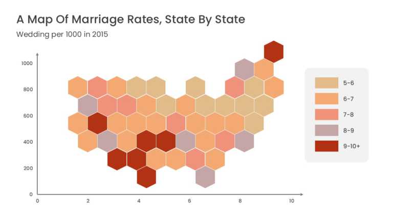

Product Description:
This US data map represents each state as a uniform hexagonal tile arranged in the approximate geographic layout of the country. Equal tile sizes remove the visual bias of large states, and each hexagon can be color-coded or labeled with a state abbreviation and value.
A Regional Sales Director or Market Research Analyst can use this map in a territory review to compare sales, market penetration, or customer counts by state. The equal-area tiles give small states the same visual weight as large ones.
Explore more US map templates, or read our guide on adding and editing maps in Google Slides. This template is fully editable and compatible with PowerPoint and Google Slides.